| Return to Homepage |
|
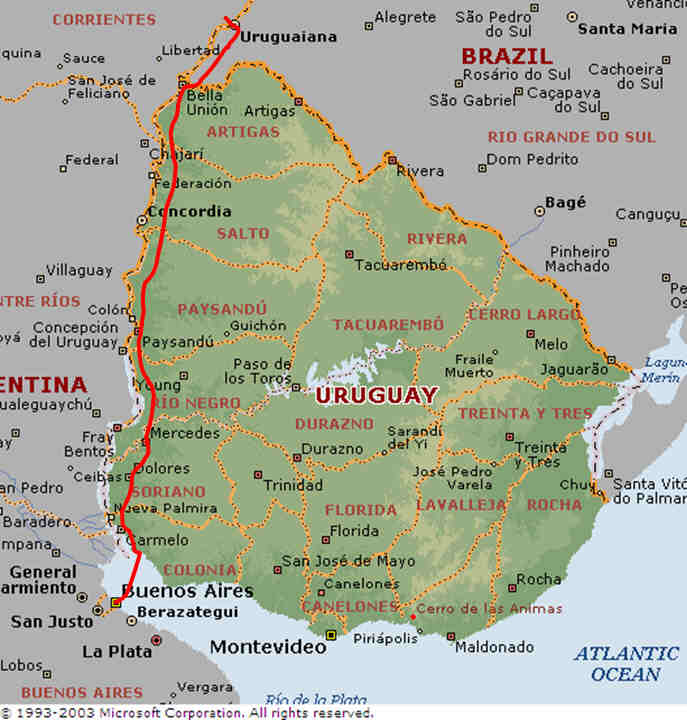
Our journey plan had never included Uruguay but we were glad to have been able to include it. Rather than continuing along the busy Argentinean highways and heading into Uruguay via Bella Union we entered from Argentina via Brazil. Our journey through these parts was continually troubled by strong headwinds.
We had been led to believe that roads in Uruguay would be very badly made and so we were prepared for some tough cycling. We had tough cycling but mostly due to the wind as many roads we passed along in Uruguay had not long been resurfaced or were in the process of being upgraded and this combined with an amazing reduction in traffic levels led to the last leg of our journey being considerably more pleasant than we had expected.
Within Uruguay we essentially followed the highway south keeping relatively close to the Argentina border and the River Parana which separates the two countries. Journey planning in Uruguay is made simple by the few road alternatives that exist. The route through towns is not always obvious but locals are keen to help.
We re-entered Argentina close to Buenos Aires by ferry across the Rio de La Plata from Colonia making our final cycle ride to the centre of Buenos Aires and arriving at the Obelisk in Buenos Aires in the late evening of the same day.
| Return to Homepage |